View Full Size Photo Page (or click on an individual photo)
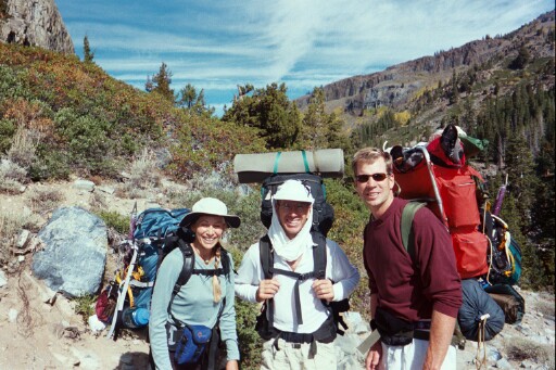
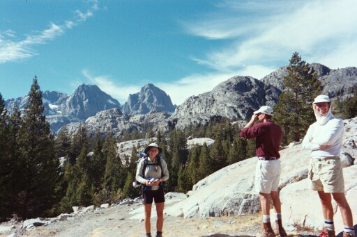
The four of us leave the cars at Agnew Meadows (el. 8,340 feet) for a 7.5-mile hike up the Middle Fork San Joaquin River and Shadow Creek to our base camp at Ediza Lake (el. 9,450). Our ultimate goal is to climb Mt. Ritter (el. 13,157) and Banner Peak (el. 12,945). Suzy, Paul, and David just past Agnew Meadows trailhead. The San Joaquin River is to the right.
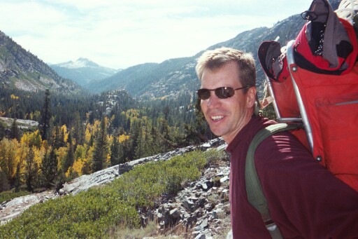
David, Friday morning.
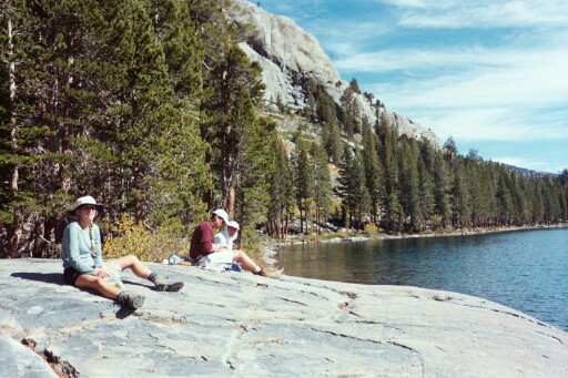
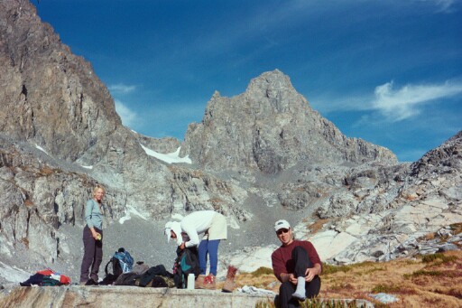
Lunch, Shadow Lake.
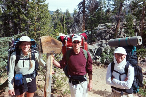
Suzy, David, and Paul at the John Muir Trail fork.
Banner Peak (above Suzy's head), tomorrow's destination.
Saturday morning near the upper reach of Shadow Creek.
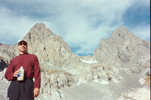
David with Mt. Ritter and Banner Peak. Note ice field below Ritter-Banner Saddle.
Return to Dave's Home Page