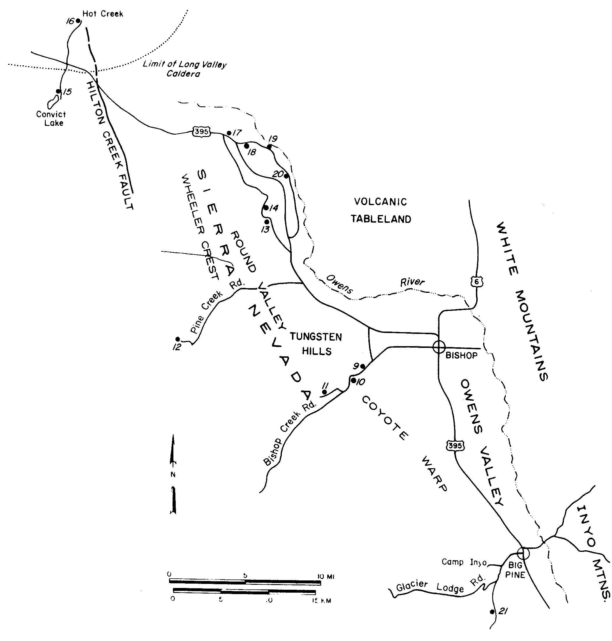
Figure 7

Route map for second day, showing locations of stops 9-21.

Figure 7-Route map for second day Stop 9-Knopf's Knob Stop 10-Volcanic Tableland and Tahoe moraine Stop 11-Bishop aqueduct at Sand Canyon Stop 12-Pine Creek Pack Station Stop 13-Glacial outwash gravels, Old Sherwin grade road Stop 14-Columnar jointing in Bishop tuff Stop 15-Convict Lake parking lot; Mt. Morrison pendant Stop 16-Hot Creek parking lot Stop 17-Big Pumice cut;  Bishop tuff on Sherwin till Stop 18-Just east of Sherwin Summit; tuff-till relations Stop 19-Owens River Gorge section Stop 20-Owens River Gorge exposures Stop 21-McMurray Meadows road; Palisade Crest intrusives

Figure 7-Route map for second day (Click on thumbnail for full size.)


Previous  (Day 2, page 9)


- Created 4/12/03, revised 4/13/03
Return to Guide 12 Title Page