SDAG Historical Geological Maps, San Diego County
MAP NUMBER: 1|
| Map Title | 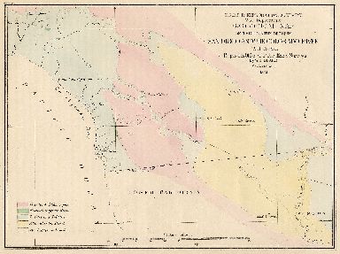 Geological Map of the Country between San Diego and the Colorado River, California Geological Map of the Country between San Diego and the Colorado River, California | | Author | Blake, W.P. | | Year Published | 1855 | | Reference | Parke, J.G., Lt., and Campbell, A.H., 1854-1855, Report of Explorations for Railroad Routes from San Francisco Bay to Los Angeles, California, West of the Coast Range, and from The Pimas Villages on the Gila to the Rio Grand, near the 32d Parallel of North Latitude, in: Reports of Explorations and Surveys to Ascertain the Most Practicable and Economical Route for a Railroad from the Mississippi Rover to the Pacific Ocean, made under the direction of the Secretary of War, in 1853-6, According to Acts of Congress of Mar 3, 1853, May 31, 1854, and August 4, 1854, Volume VII., Washington, Chapter XVIII - Geology of the District from San Diego to Fort Yuma, 119-129, Chapter XXVIII - List of Minerals Collected, 187-188, Plate VIII. | | Scale | 1:608,228 | | Quadrangle | Southern California | | Source | Jeffrey Patterson |
MAP NUMBER: 2|
| Map Title |
 Preliminary Geologic Map of San Diego County, California Preliminary Geologic Map of San Diego County, California | | Author | Ellis, A.J. | | Year Published | 1919 | | Reference | Preliminary Geologic Map of San Diego County, California, Plate III, in Ellis & Lee, 1919, USGS Water Supply Paper 446. | | Scale | 1:250,000 | | Quadrangle | San Diego County (San Luis Rey, Ramona, and Cuyamaca, (San Diego) 30') | | Source | Pomona College |
MAP NUMBER: 3|
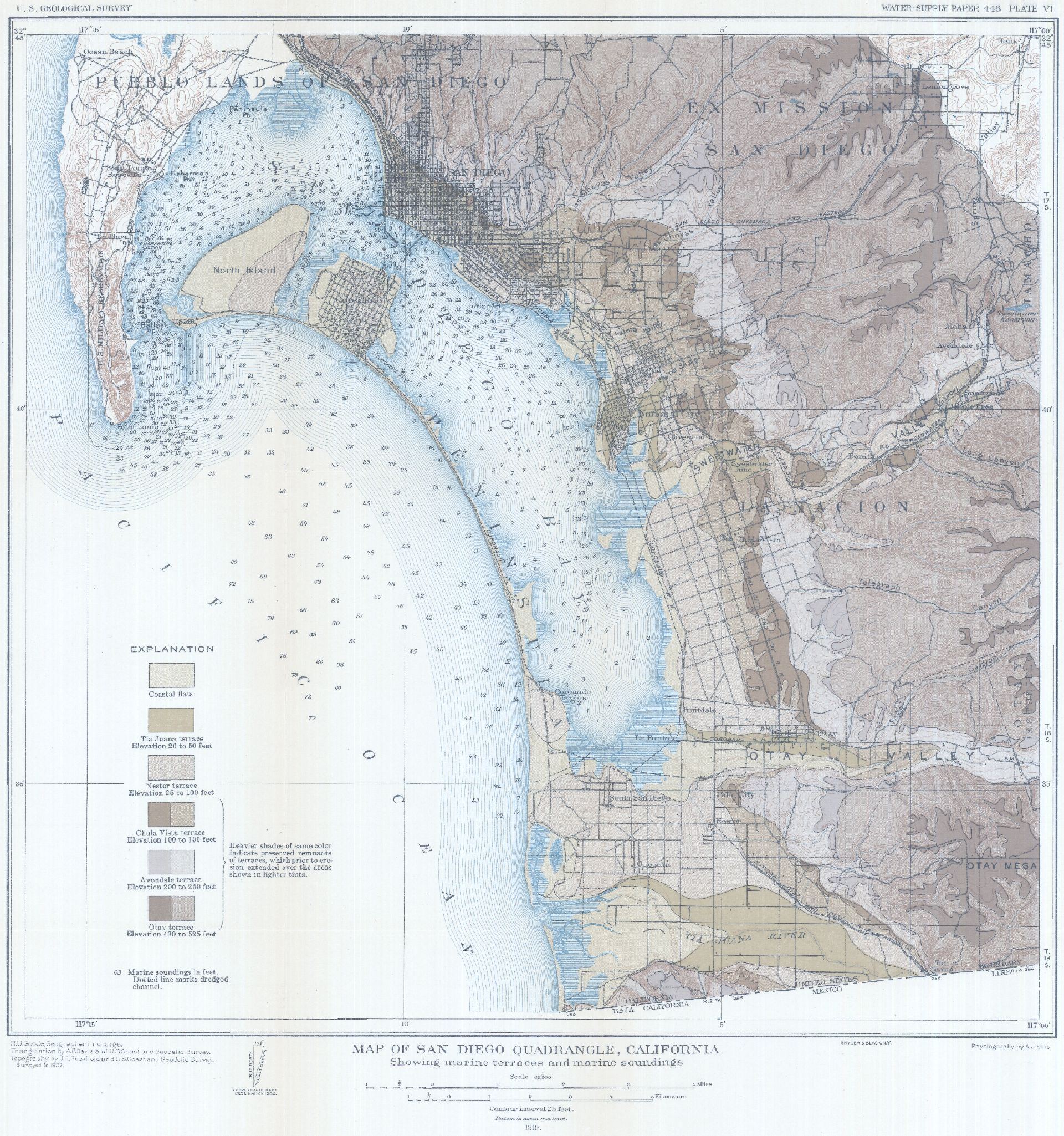
| Map Title | 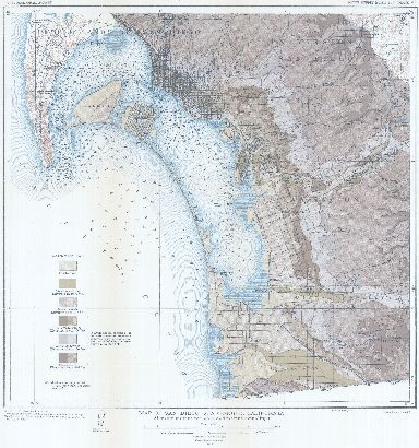 Map of San Diego Quadrangle, California, showing marine terraces and marine soundings Map of San Diego Quadrangle, California, showing marine terraces and marine soundings | | Author | | | Year Published | 1919 | | Reference | Map of San Diego Quadrangle, California, showing marine terraces and marine soundings, Plate VI, in Ellis & Lee, 1919, USGS Water Supply Paper 446. | | Scale | 1:62,500 | | Quadrangle | San Diego 15' | | Source | Pomona College |
MAP NUMBER: 4|
| Map Title |  Geological Map of the Cuyamaca Region Geological Map of the Cuyamaca Region | | Author | Hudson, F.S. | | Year Published | 1922 | | Reference | Hudson, F.S., 1922, Geology of the Cuyamaca Region of California, with special reference to the origin of nickeliferous pyrrhotite: University of California, Department of Geological Sciences Bulletin, v. 13, pp. 175-252. | | Scale | 1:62,500 | | Quadrangle | Ramona 30' (southeastern corner) and Cuyamaca 30' (northeastern corner) | | Source | George Copenhaver |
MAP NUMBER: 5|
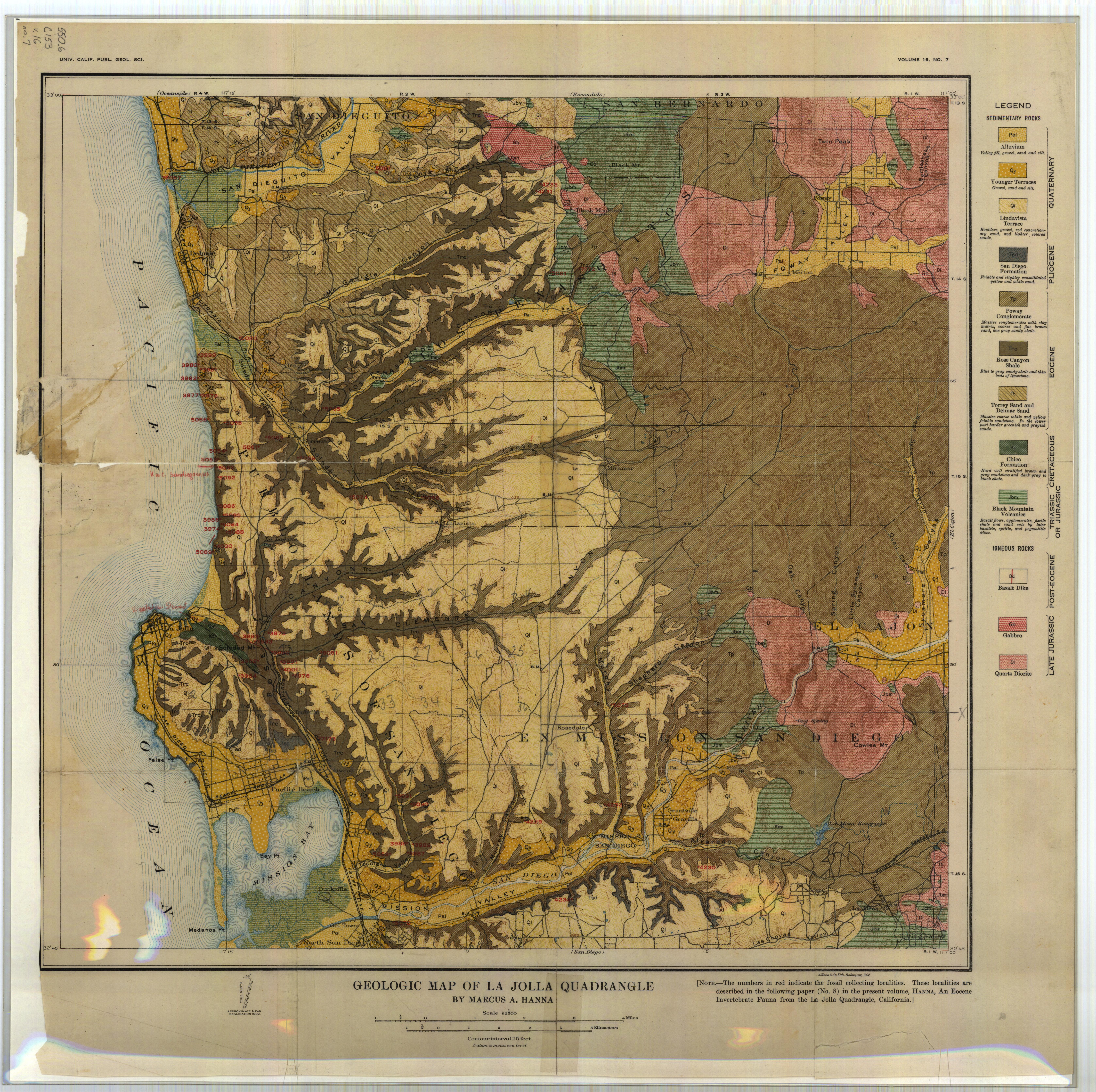
| Map Title |  Geologic Map of the La Jolla Quadrangle Geologic Map of the La Jolla Quadrangle
Geologic Map of the La Jolla Quadrangle (7.5 MB JPEG)
| | Author | Hanna, Marcus A. | | Year Published | 1926 | | Reference | Hanna, Marcus A., 1926, Geology of the La Jolla Quadrangle, California, University of California Department of Geological Sciences Bulletin, Volume 16, number 7, pages 187-246. | | Scale | 1:62,500 | | Quadrangle | La Jolla 15' | | Source | UC Berkeley |
MAP NUMBER: 6|
| Map Title | 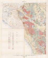 Geologic Map of the Corona, Elsinore, and San Luis Rey Quadrangles, California Geologic Map of the Corona, Elsinore, and San Luis Rey Quadrangles, California | | Author | Larsen, Esper S., Jr. | | Year Published | | | Reference | Larsen, Esper S., Jr., 1948, Batholith and Associated Rocks of Corona, Elsinore, and San Luis Rey Quadrangles, Southern California, Geological Society of America Memoir 29, Plate 1. | | Scale | 1:125,000 | | Quadrangle | Corona, Elsinore, and San Luis Rey | | Source | Pomona College |
MAP NUMBER: 7|
| Map Title | 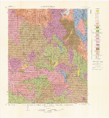 Geologic Map of the Cuyamaca Peak Quadrangle, California Geologic Map of the Cuyamaca Peak Quadrangle, California | | Author | Everhart, Donald L. | | Year Published | 1951 | | Reference | Everhart, Donald L., 1951, Geology of the Cuyamaca Peak Quadrangle, San Diego County, California, CDM Bull. 159, Plate 2 "Geologic Map of the Cuyamaca Peak Quadrangle, California" | | Scale | 1:62,500 | | Quadrangle | Cuyamaca Peak 15' | | Source | Pomona College |
MAP NUMBER: 8|
| Map Title |
 Generalized geologic map of the Peninsular Range province, southern California Generalized geologic map of the Peninsular Range province, southern California | | Author | Jahns, Richard H. | | Year Published | 1954 | | Reference | CDMG, 1954, Geology of Southern California, Bulletin 170, Chapter II, Plate 3 "Generalized geologic map of the Peninsular Ranges province, southern California," scale 1:380,160 (6 mile per inch), compiled by R.H. Jahns. | | Scale | 1:380,160 | | Quadrangle | Southern California | | Source | Pomona College |
MAP NUMBER: 9|
| Map Title |
 Areal Geology Map of the Jacumba Quadrangle, San Diego and Imperial Counties, California Areal Geology Map of the Jacumba Quadrangle, San Diego and Imperial Counties, California | | Author | Edited by Baylor Brooks and Ellis Roberts (Field Geology Classess of San Diego State College) | | Year Published | 1954 | | Reference | CDMG, 1954, Geology of Southern California, Bulletin 170, Map Sheet 23 "Geology of the Jacumba area, San Diego and Imperial Counties," by Baylor Brooks and Ellis Roberts | | Scale | 1:62,500 | | Quadrangle | Jacumba 7.5' (part), In-Ko-Pah Gorge 7.5' (part) | | Source | |
MAP NUMBER: 10|
| Map Title | 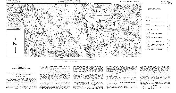 A typical portion of the southern California batholith A typical portion of the southern California batholith | | Author | Merriam, Richard | | Year Published | 1954 | | Reference | CDMG, 1954, Geology of Southern California, Bulletin 170, Map Sheet 22 "A typical portion of the southern California batholith, San Diego County," by Richard Merriam | | Scale | 1:62,500 | | Quadrangle | Valley Center (part) | | Source | |
MAP NUMBER: 11|
| Map Title | 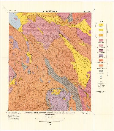 Geologic Map of the Santa Ysabel Quadrangle, California Geologic Map of the Santa Ysabel Quadrangle, California | | Author | Merriam, Richard | | Year Published | 1958 | | Reference | Merriam, R.H., 1958, Geologic Map of the Santa Ysabel Quadrangle, San Diego County, California, Div Mines Bull. 177, Plate 1 | | Scale | 1:62,500 | | Quadrangle | Santa Ysabel 15' | | Source | Pomona College |
MAP NUMBER: 12|
| Map Title | 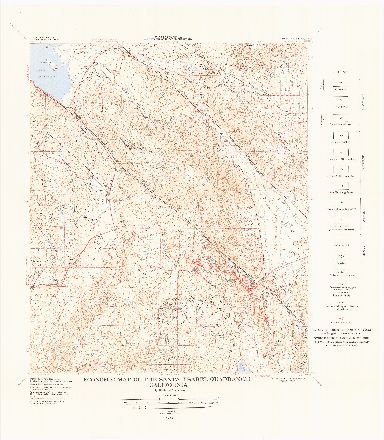 Economic Map of the Santa Ysabel Quadrangle, California Economic Map of the Santa Ysabel Quadrangle, California | | Author | Merriam, Richard | | Year Published | 1958 | | Reference | Merriam, R.H., 1958, Economic Map of the Santa Ysabel Quadrangle, San Diego County, California, Calif. Div Mines Bull. 177, Plate 1-A | | Scale | 1:62,500 | | Quadrangle | Santa Ysabel 15' | | Source | Pomona College |
MAP NUMBER: 13|
| Map Title |
.jpg "Zoomify Map") Plate 1 - Low Resolution JPG, 1920px × 1444px (1.0 MB)
Plate 1 - Low Resolution JPG, 1920px × 1444px (1.0 MB)
Plate 1 - High Resolution JPG, 14875px × 11194px (20.1 MB)
| | Author | Weber, F.H., Jr. | | Year Published | 1963 | | Reference | "Geology and Mineral Resources of San Diego County, California" Plate 1, in Weber, F.H., Jr., 1963, Mines and mineral resources of San Diego County, California, CDMG County Report 3 | | Scale | 1:127,000 | | Quadrangle | San Diego County | | Source | Pomona College |
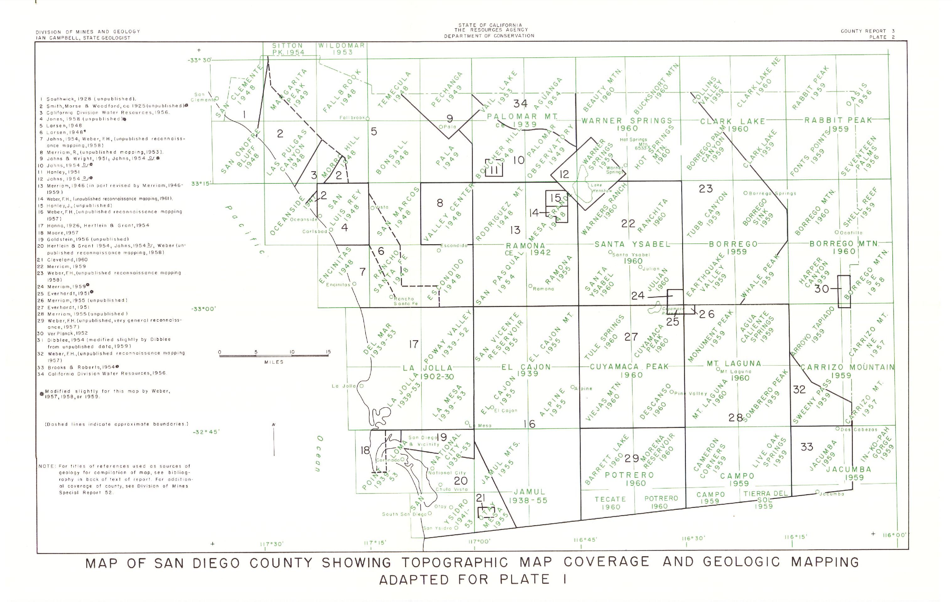
MAP NUMBER: 14|
| Map Title | 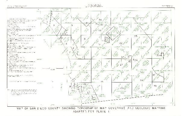 Map of San Diego County Showing Topgraphic Map Coverage and Geologic Mapping Adapted for Plate 1 Map of San Diego County Showing Topgraphic Map Coverage and Geologic Mapping Adapted for Plate 1 | | Author | Weber, F.H., Jr. | | Year Published | 1963 | | Reference | "Map of San Diego County Showing Topgraphic Map Coverage and Geologic Mapping Adapted for Plate 1," Plate 2, in Weber, F.H., Jr., 1963, Mines and mineral resources of San Diego County, California, CDMG County Report 3 | | Scale | 1:500,000 | | Quadrangle | | | Source | Pomona College |
MAP NUMBER: 15|
| Map Title | 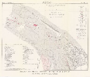 Geology and Mineral Deposits of the Julian District, San Diego County, California Geology and Mineral Deposits of the Julian District, San Diego County, California | | Author | Weber, F.H., Jr. | | Year Published | 1963 | | Reference | "Geology and Mineral Deposits of the Julian District, San Diego County, California" Plate 7, in Weber, F.H., Jr., 1963, Mines and mineral resources of San Diego County, California, CDMG County Report 3 | | Scale | 1:20,850 | | Quadrangle | Julian District | | Source | Pomona College |
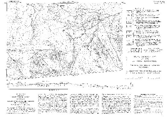
MAP NUMBER: 16|
| Map Title |  A Reconnaissance Geology Map of the Sweetwater Formation in Southwest San Diego County, California A Reconnaissance Geology Map of the Sweetwater Formation in Southwest San Diego County, California | | Author | Herman T. Kuper | | Year Published | 1976 | | Reference | Unpublished Map used as the basis for monochrome Plates 1-4 "Reconnaissance of the Marine Sedimentary Rocks of South Western Wan Diego County" from Geology of Southwestern San Diego County and Northwestern Baja California, edited by Gregory T. Farrand. San Diego Association of Geologists field trip guidebook. 1977. | | Scale | 1:24,000 | | Quadrangles | Imperial Beach, National City,Otay Mesa, Jamul Mountains | | Source | Tom Kuper |
|
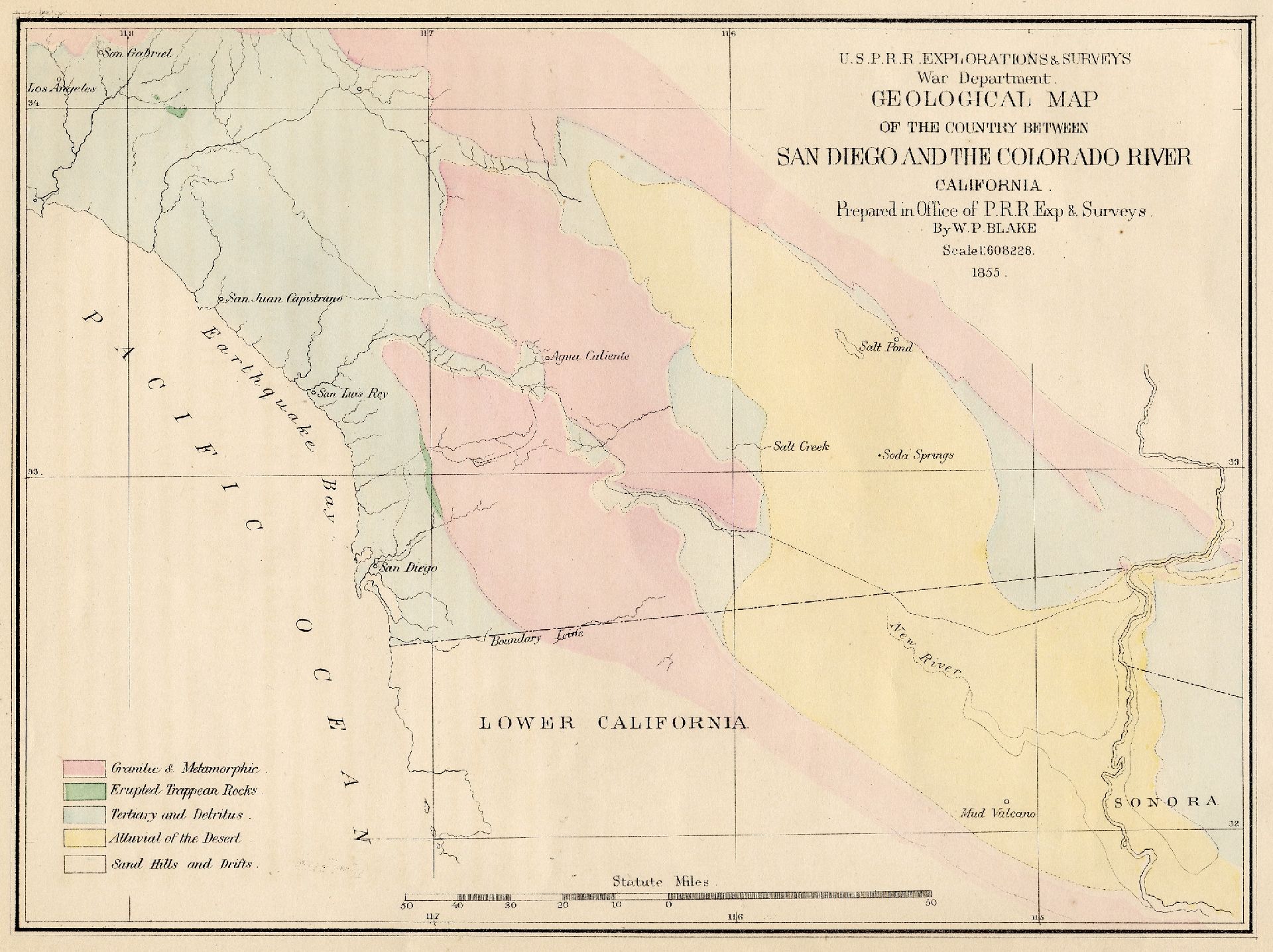 Geological Map of the Country between San Diego and the Colorado River, California
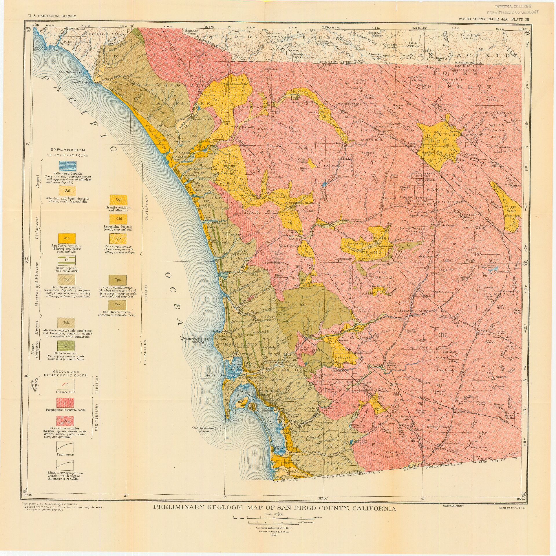
 Map of San Diego Quadrangle, California, showing marine terraces and marine soundings
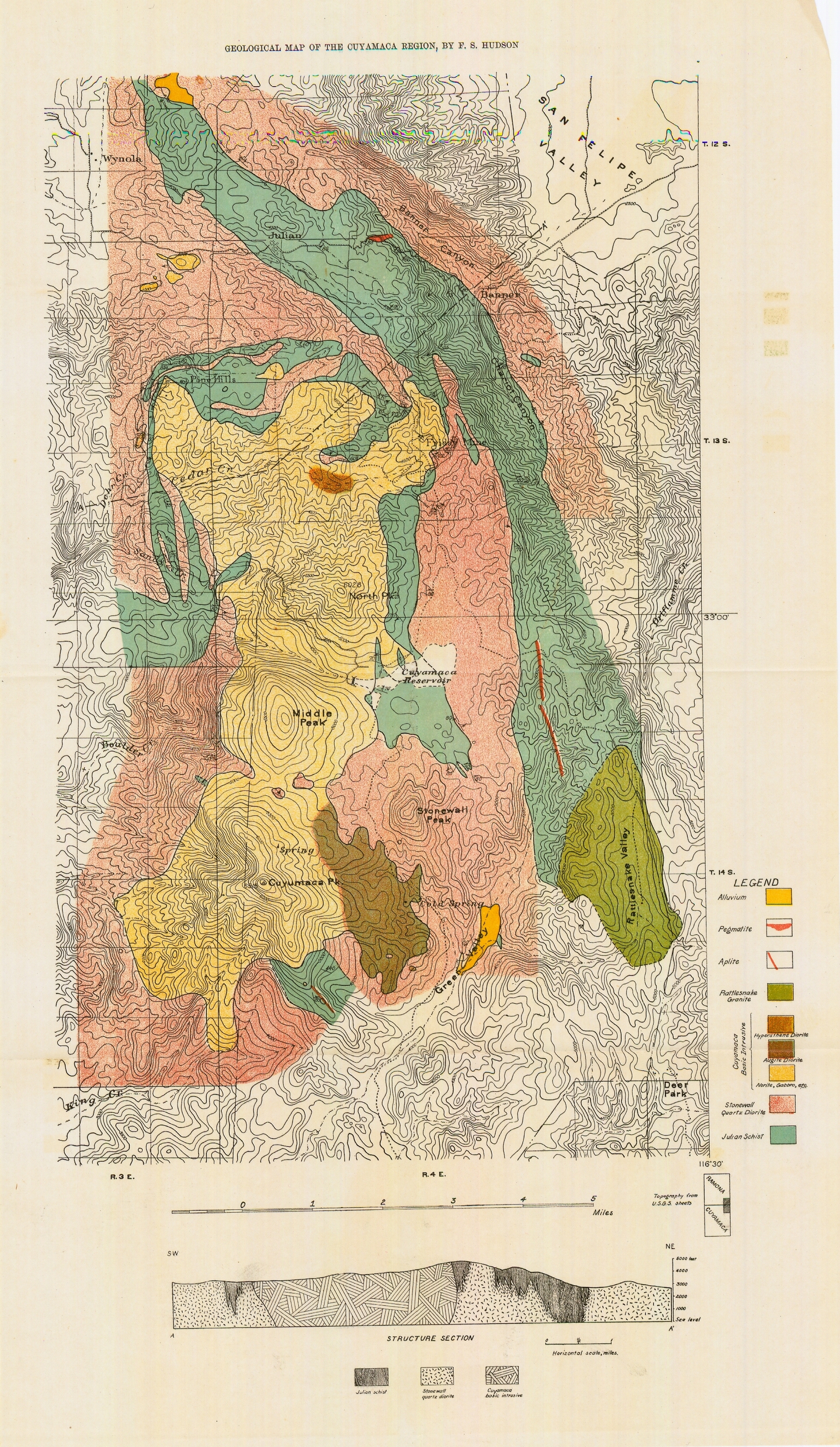 Geological Map of the Cuyamaca Region
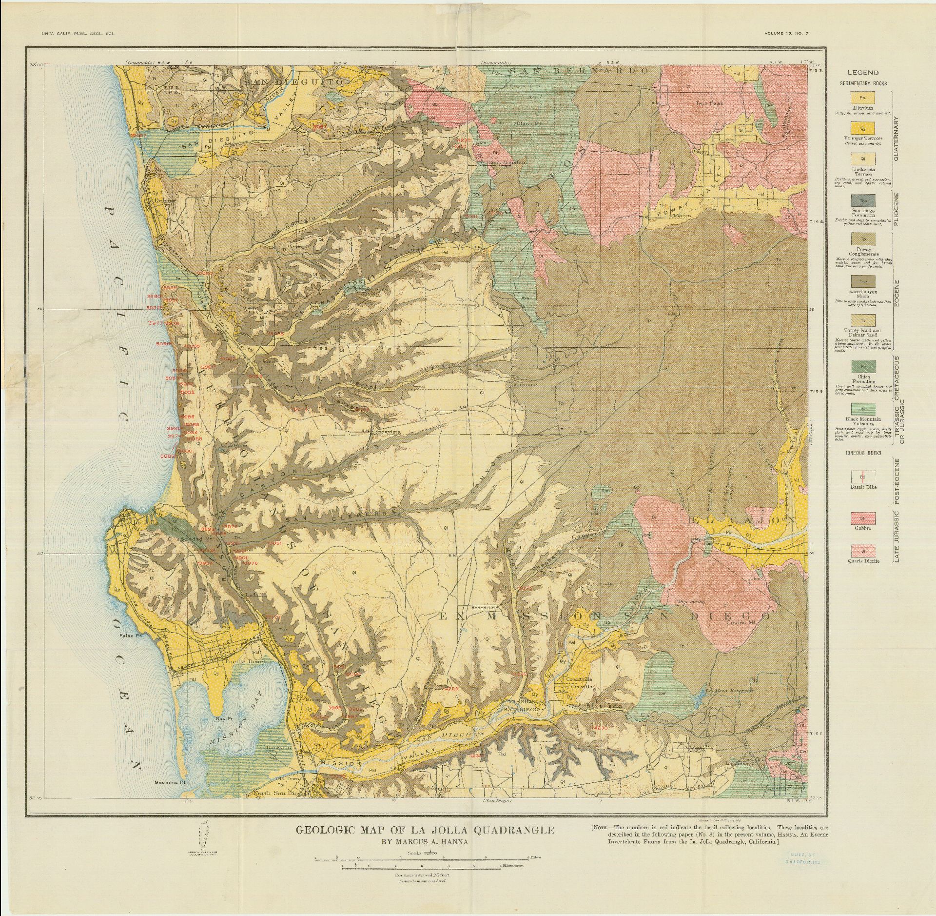
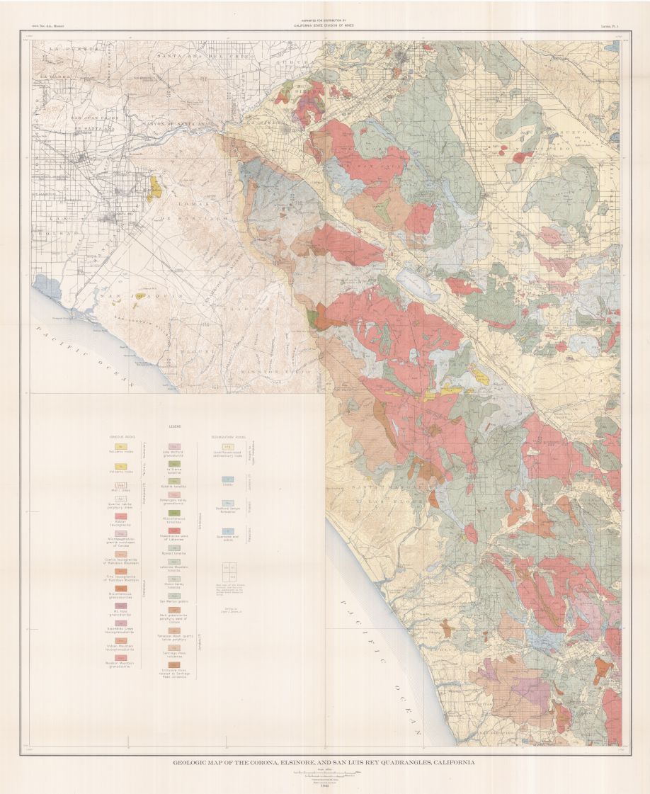 Geologic Map of the Corona, Elsinore, and San Luis Rey Quadrangles, California
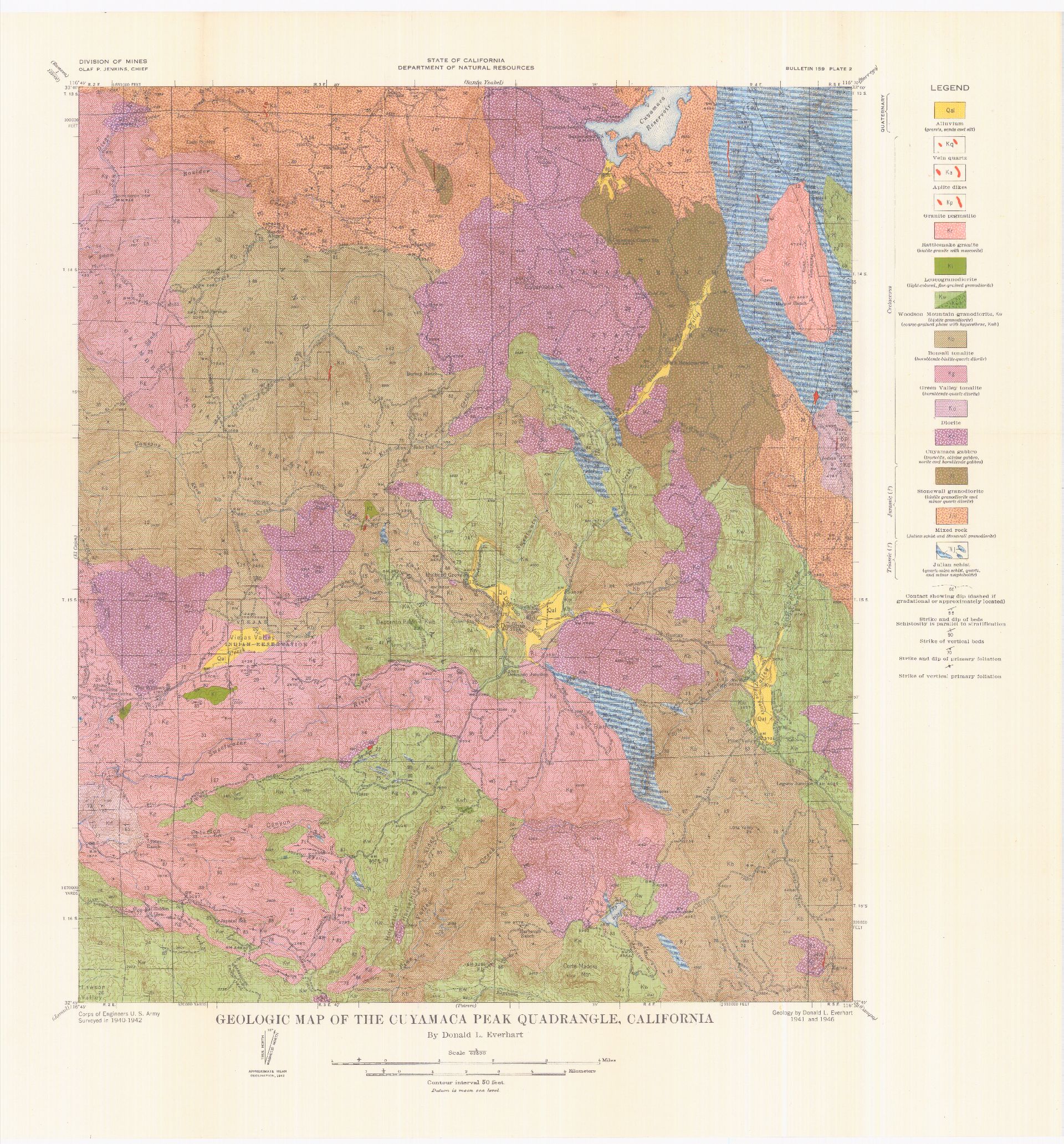 Geologic Map of the Cuyamaca Peak Quadrangle, California
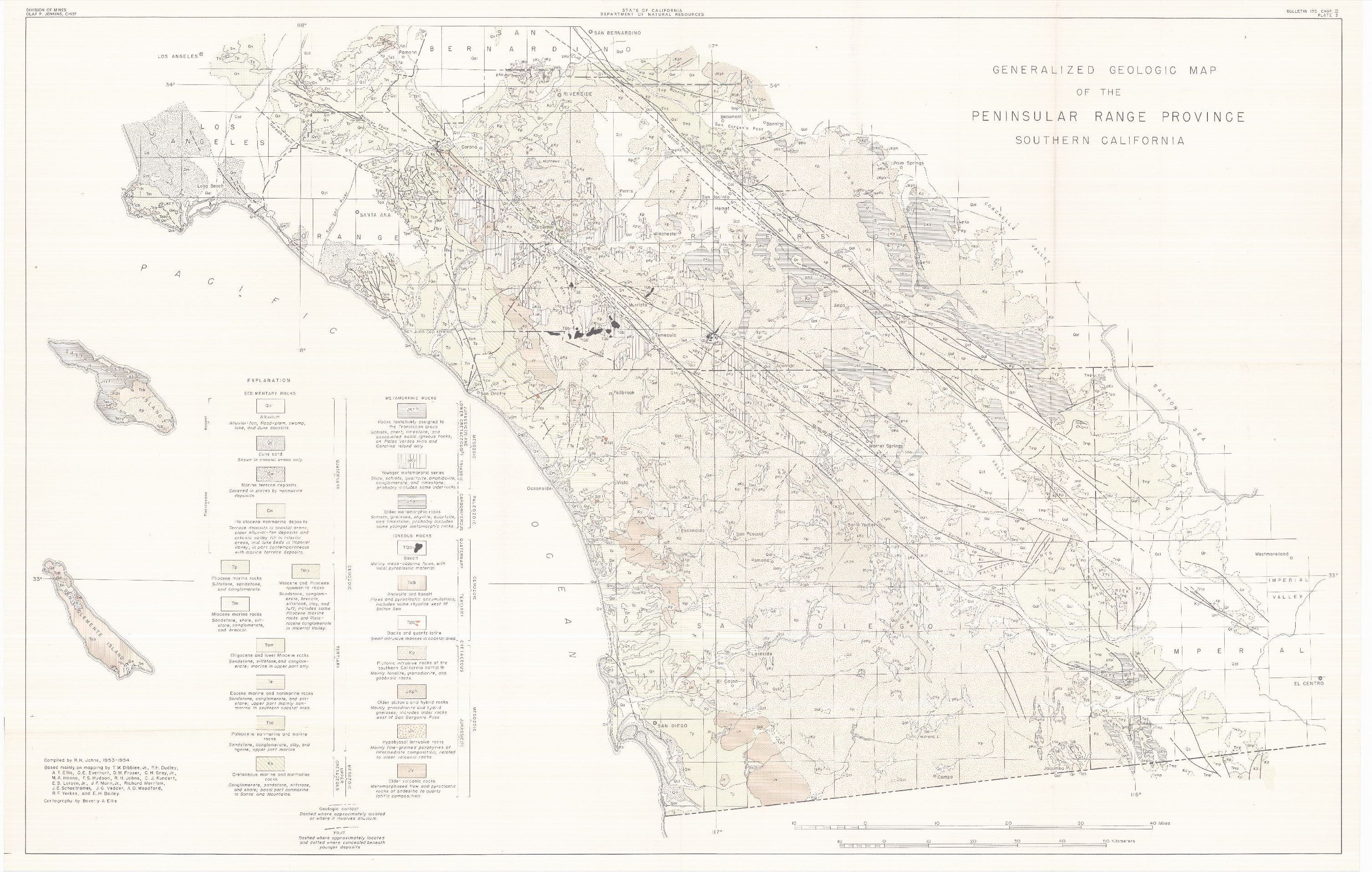
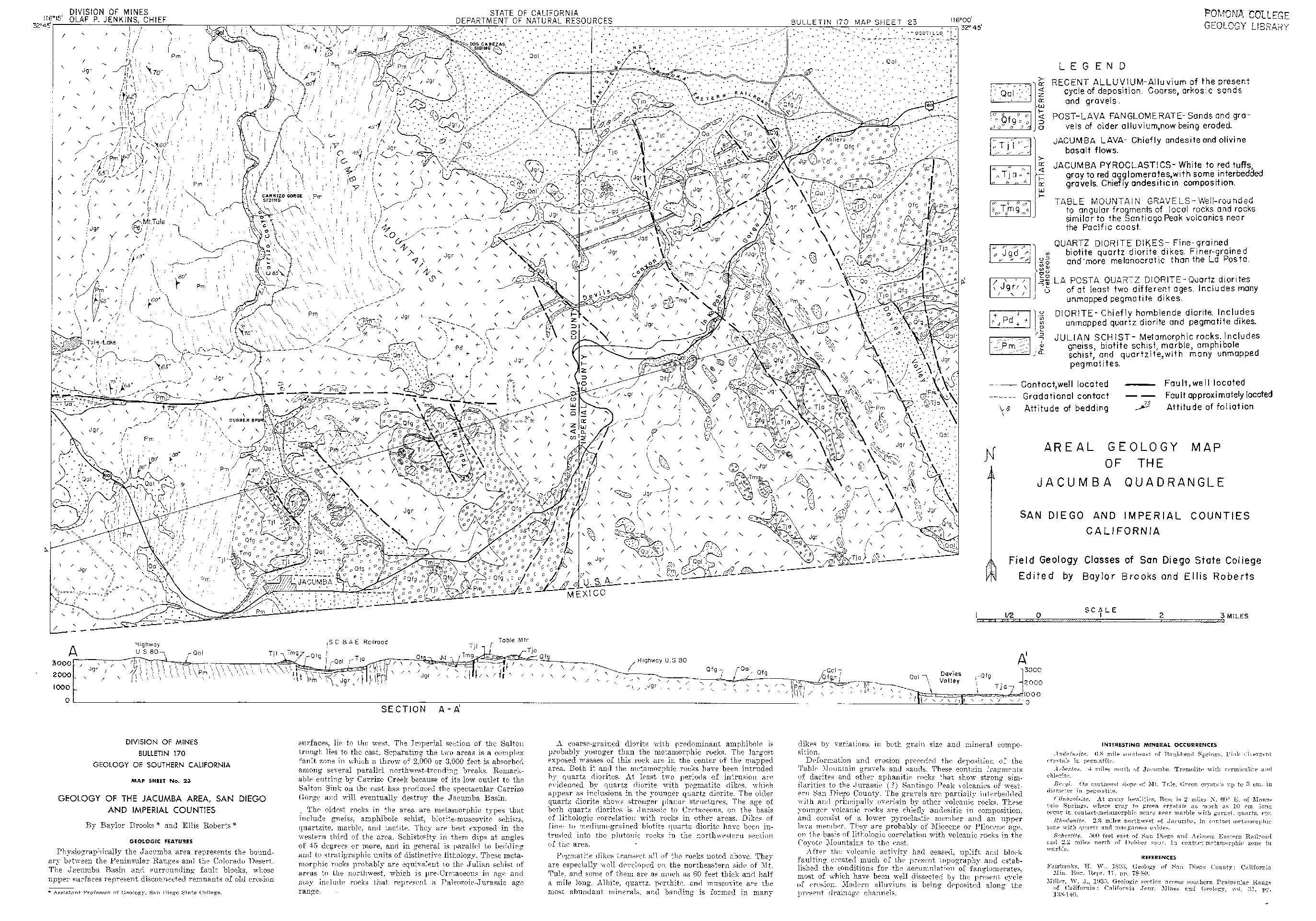 Areal Geology Map of the Jacumba Quadrangle, San Diego and Imperial Counties, California
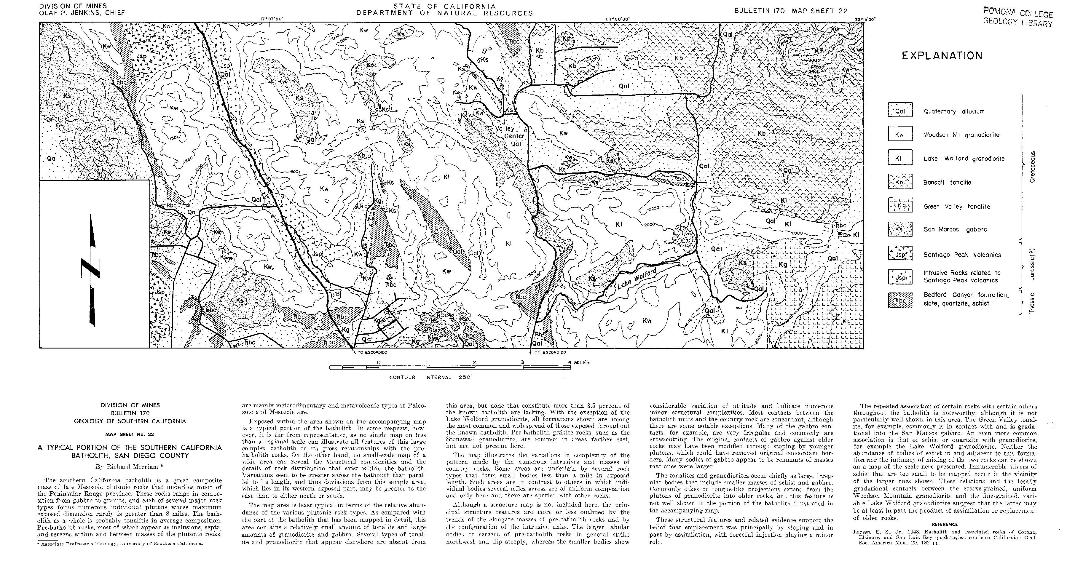 A typical portion of the southern California batholith
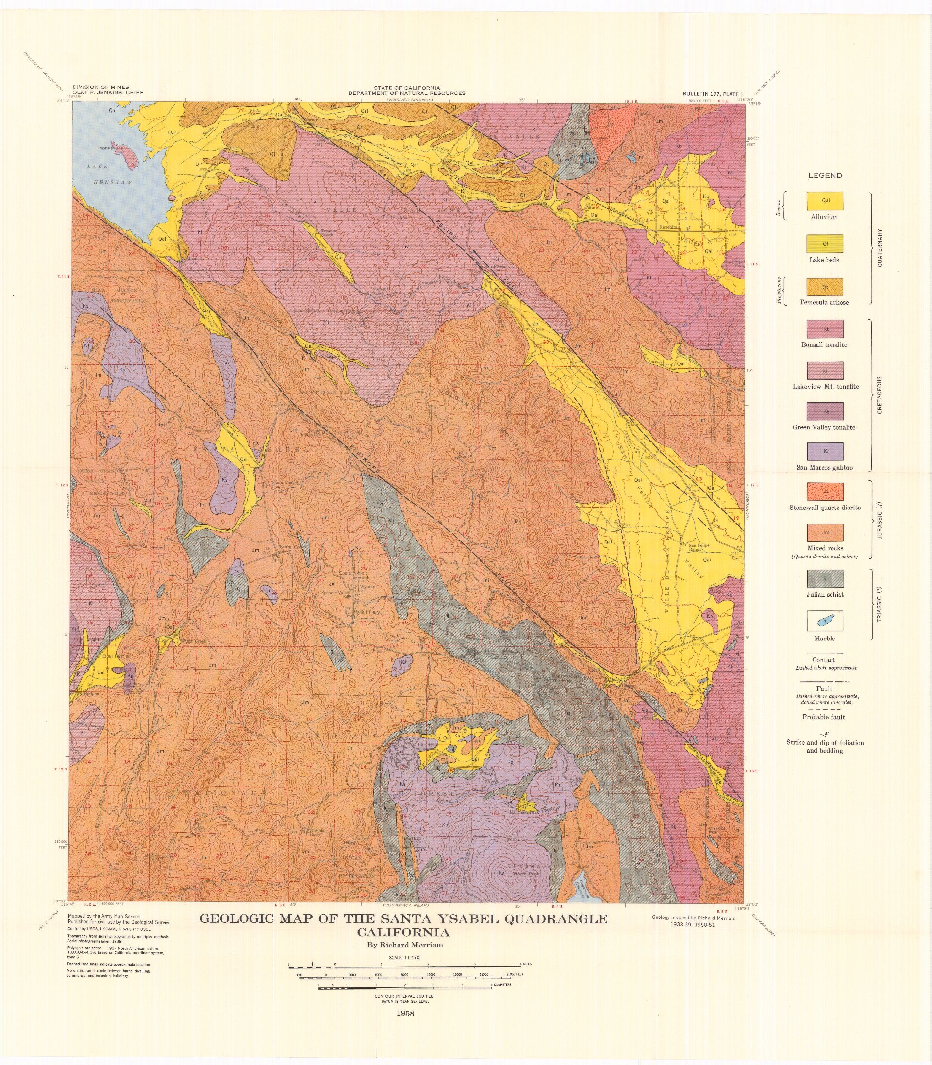 Geologic Map of the Santa Ysabel Quadrangle, California
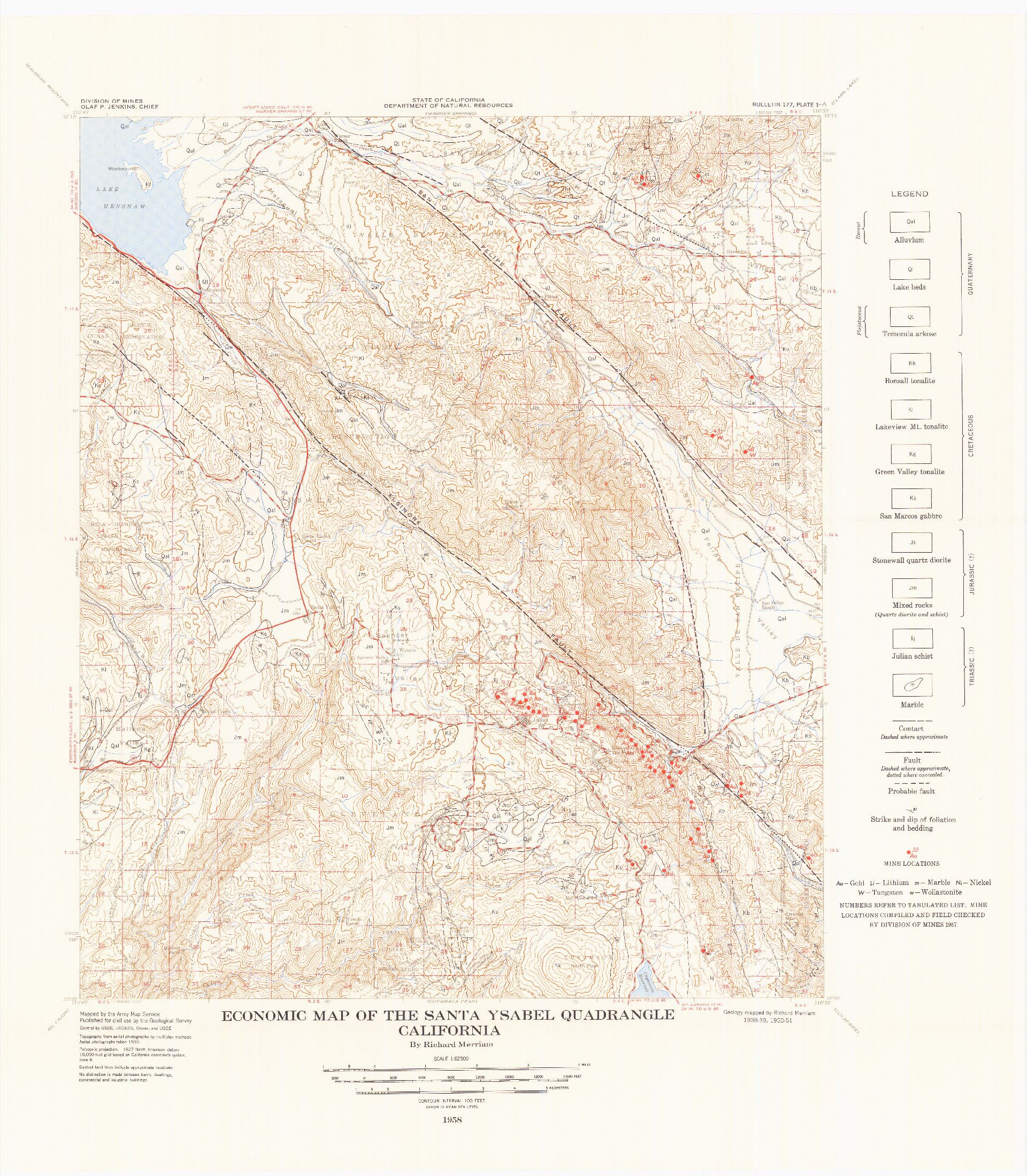 Economic Map of the Santa Ysabel Quadrangle, California
.jpg)
.jpg)
 Map of San Diego County Showing Topgraphic Map Coverage and Geologic Mapping Adapted for Plate 1
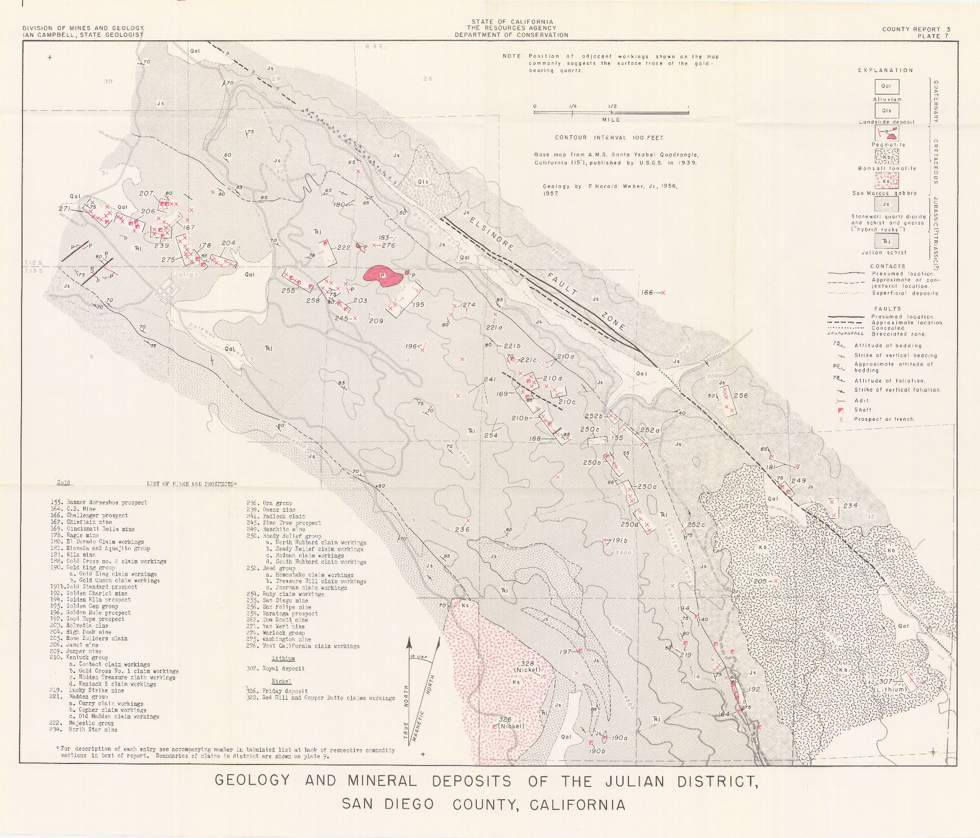 Geology and Mineral Deposits of the Julian District, San Diego County, California
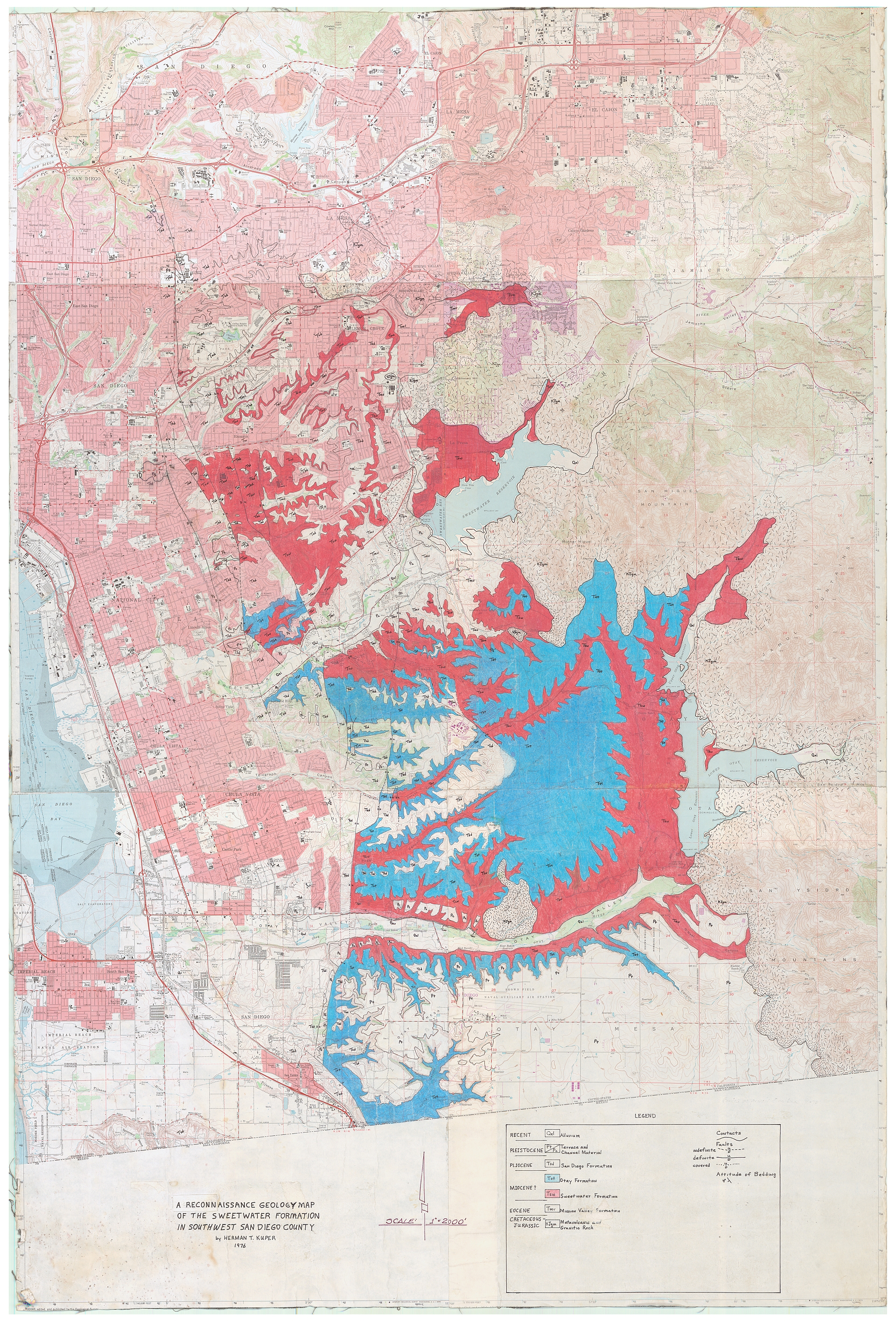